Santern
x-ccc-a47d62411c418 May 2020·Santern
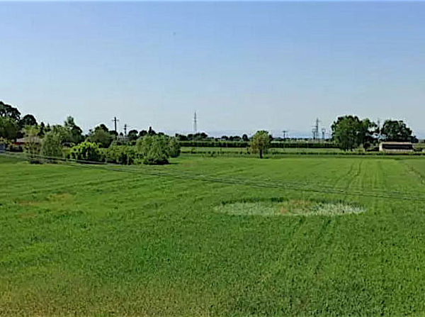
Reported 8 May 2020 at Santern. One archive recorded it, so nothing about it can be cross-checked.
The record
- date
- 8 May 2020 (day precision)
- place
- Santern
Italy - crop
- not recorded by any source
- size
- not recorded
- recorded by
- ccc
- images
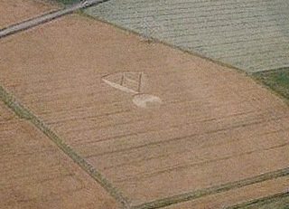
- 1 · 1 aerial
- writing
- nothing was written about this formation on any source
Also called
Nr Imola Emilie Romagne
Canonical name from the cropcircleconnector.com name; the rest are what the other source records print for the same formation.
Where exactly
- coordinate
- 44.359160, 11.713200
- how it was got
- geonames
place, to within 2,000 m, from the ccc record - on a map
- OpenStreetMap
No source publishes a coordinate for any formation in this archive. Every coordinate here is derived from the place name a source printed, and this page says how precise that makes it rather than rounding it away.
Images
1 image(s) on this formation's own source records. Click a tile for the full image; the bytes are fetched when you ask for them and are not stored in this page.
Photographs (1)
| site | kind | credit | basis | caption | size | file | source page |
|---|---|---|---|---|---|---|---|
| ccc | aerial | www.corriereromagna.it | image-group credit | 600×447 170.1 KiB image/jpeg |
image f61944e1a04e | https://www.cropcircleconnector.com/2020/Saterna/Saterna2020a.html |
Date
8 May 2020, to day precision. What a source records is the day a formation was found and reported.
- reported by
- ccc: 8 May 2020
- weekday
- Friday, day 129 of the year, ISO week 19, spring
- sun and moon
- 43.4 days before the June solstice; moon waning gibbous (98% lit), 1.1 days after the full moon (computed at 12:00 UTC; a reported date is a discovery date, not a creation date)
Place
What each source printed, and the coordinate derived from it. No source in this archive publishes a coordinate of its own.
- coordinate
- 44.359160, 11.713200 — place, ±2,000 m, by geonames, from the ccc record
- on a map
- OpenStreetMap
| site | place | county | country | grid ref | what3words | fix |
|---|---|---|---|---|---|---|
| ccc | Nr Imola Emilie Romagne | Italy | 44.359160, 11.713200 place / geonames |
Crop and size
crop and size not recorded by any source
Source records
What each source published, side by side. A row whose values differ across the sources is marked: the archive prints the disagreement rather than choosing a winner.
| field | ccc cropcircleconnector.com |
|---|---|
| id / slug | saterna |
| name | Santern |
| location | Nr Imola Emilie Romagne |
| county | |
| country | Italy |
| date reported | 2020-05-08 |
| date precision | day |
| crop | |
| size | |
| diameter (ft) | |
| grid reference | |
| what3words | |
| map link | |
| credits | |
| source page | https://www.cropcircleconnector.com/2020/Saterna/Saterna2020a.html |
| link to the entity | singleton decided by none on 2026-09-11 |
| warnings | none |
| record | ccc/a47d62411c41… raw record view: /formation/ccc/a47d62411c4191f4fd2bcb41d55c200de43e5f0eb3290b7b60a731a6383234a2 in the preview app |
Texts
no text documents in the archive for this formation
Claims about this formation
no claim was extracted from a text about this formation
Geometry
no diagram of this formation has been measured
0 diagram file(s) on this page. no diagram of this formation has been measured; run `python -m scraper analysis geometry` to fill this section.
Neighbours
In time
- previous
- Torino 28 September 2019, Torino
- next
- Santerno 15 May 2020, Santerno
- previous in IT
- Torino 28 September 2019
- next in IT
- Santerno 15 May 2020
- same day
- Santerno (Santerno)
- within 7 days and 25 km
- none, or this formation has no coordinate at place confidence or better
In place
The nearest formations the archive can place.
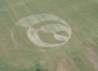 Granarolo Faenza28 May 2010
Granarolo Faenza
15.3 km away, 2010-05-28
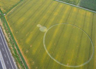 Barbiano Lugo6 June 2013
Barbiano Lugo
18.4 km away, 2013-06-06
 Conselice2 July 2011
Conselice
19.3 km away, 2011-07-02
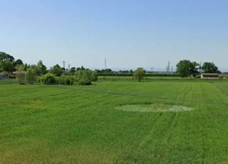 Santerno8 May 2020
Santerno
28.5 km away, 2020-05-08
 Santerno15 May 2020
Santerno
28.5 km away, 2020-05-15
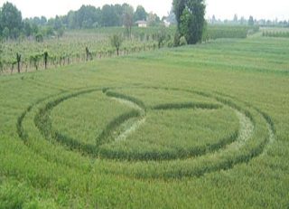 Forli3 May 2007
Forli
30.3 km away, 2007-05-03
- same county and year
- none
Provenance
- entity built at
- 2026-09-11T19:20:39Z (derived from the link decisions, not from this build)
- index run ids
- none
- reviews applied
- none
- open queue pairs
- none
- entity record
- index/formations/x-ccc-a47d62411c41.json · row in index/manifest.jsonl
- input digests
- entity bef4b881639f · images 733fd2880eac · texts 4f53cda18c2b · geo 6000e53c03e3